Metis OS Tactical
Empowering Tactical Teams in Public Safety
Metis OS Tactical is a powerful geospatial tool designed specifically for tactical teams in public safety. Whether you're coordinating a rapid response, managing a large-scale event, or conducting day-to-day operations, Metis OS Tactical provides the critical tools you need for real-time situational awareness and effective decision-making.
Real-Time Team Tracking
Maintain constant awareness of your team's location with precision tracking. Metis OS Tactical ensures that command and operational units are always connected, enhancing coordination and safety during critical missions.
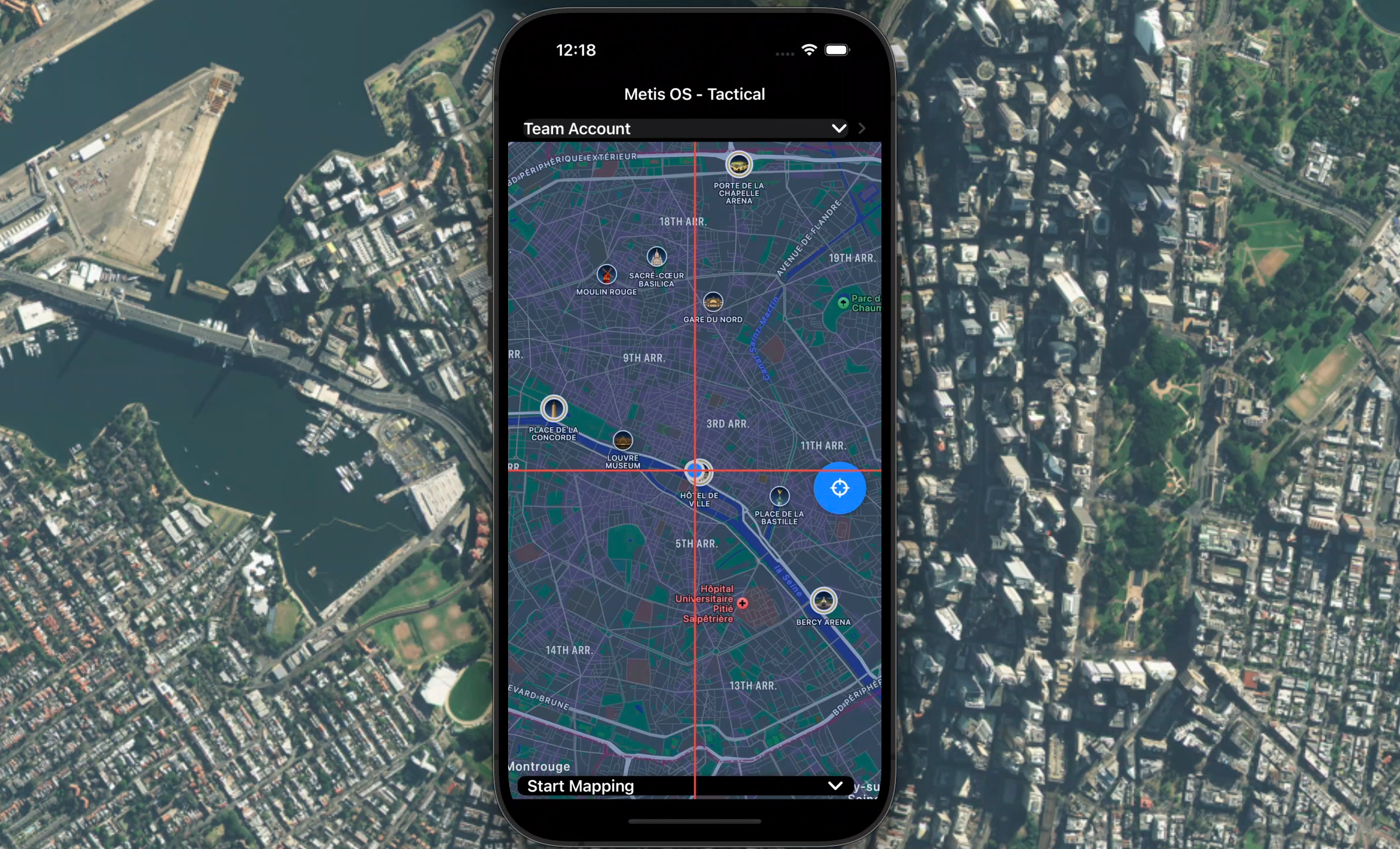
Interactive Incident Mapping
Quickly map out key areas, potential hazards, and safe zones. With high-detail, interactive maps, your team can navigate complex environments with confidence, making every operation smoother and safer.
AI-Driven Operational Insights
Leverage AI to analyze real-time data and gain actionable insights. Whether predicting potential threats or optimizing deployment routes, Metis OS Tactical supports your decision-making with intelligent, data-driven recommendations.
Seamless Communication
Keep your team synchronized with secure, integrated communication tools. Share live locations, send mission updates, and ensure that every team member has the latest information at their fingertips.
User-Centric Design
Metis OS Tactical is built with the unique needs of public safety professionals in mind. Its intuitive interface allows for quick access to critical information, so your team can focus on the mission, not the tools.